Légende
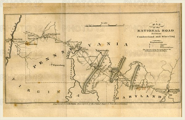
Map of the road between Cumberland and Wheeling, A Geographical Description of the United States with the contiguous British and Spanish Possessions, intended as an accompaniment to Melish's map of these countries, 19th century engraving, US, America
Crédit
Photo12/Liszt Collection/Quint Lox Limited
Notre référence
LZT16A62_144
Licence
Droits gérés
Format disponible
75.2Mo (2.7Mo) / 53.8cm x 35.1cm / 6349 x 4142 (300dpi)