Légende
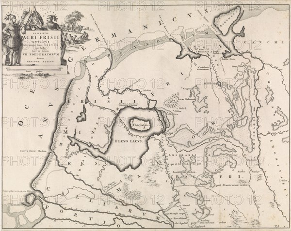
Historical map of Netherlands with the areas of the Batavians and Frisians V, Jan Luyken, Henricus Wetstein, 1697
Date
1697
Crédit
Photo12/Liszt Collection/Quint Lox Limited
Notre référence
LZT16A31_437
Licence
Droits gérés
Format disponible
115,6Mo (4,7Mo) / 60,3cm x 48,0cm / 7126 x 5670 (300dpi)