Sujet
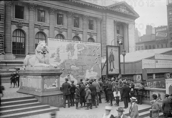
Map showing Czechoslovakia's location in Central Europe, 13 Sept 1918. Creator: Bain News Service.
Légende
Map showing Czechoslovakia's location in Central Europe, 13 Sept 1918 (date created or published later). A large map of Czechoslovakia in front of the New York Public Library during World War I. A large painting of the poster "Tell that to the Marines!" by James Montgomery Flagg is next to the map.
Date
20e siècle
Crédit
Photo12/Heritage Images/Heritage Art
Notre référence
HRM24A19_180
Model release
NA
Property release
NA
Licence
Droits gérés
Format disponible
48,6Mo (2,1Mo) / 42,0cm x 29,0cm / 4960 x 3422 (300dpi)