Sujet
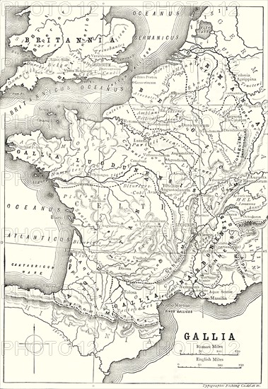
'Map of Gaul and Part of Britain',1890
Légende
'Map of Gaul and Part of Britain', 1890. From "Cassell's Illustrated Universal History Vol. II - Rome", by Edmund Ollier. [Cassell and Company, Limited, London, Paris and Melbourne, 1890]
Date
1890
Crédit
Photo12/Heritage Images/The Print Collector
Notre référence
HRM19F24_251
Model release
Non
Licence
Droits gérés
Format disponible
61,5Mo (3,8Mo) / 32,6cm x 47,3cm / 3851 x 5585 (300dpi)