Sujet
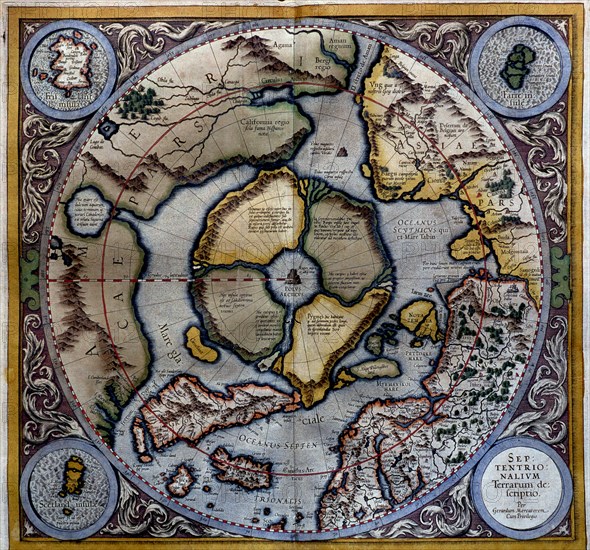
'Atlas of Gerardus Mercator', 1595, map of the Arctic to the North Pole and surrounding lands wi?
Légende
'Atlas of Gerardus Mercator', 1595, map of the Arctic to the North Pole and surrounding lands within and outside the Arctic Circle.
Crédit
Photo12/Heritage Images/Index
Notre référence
HRM19E81_250
Model release
Non
Licence
Droits gérés
Format disponible
50,9Mo (4,9Mo) / 37,0cm x 34,5cm / 4370 x 4071 (300dpi)